Geotechnical and geophysical campaigns at sea are crucial stages in offshore wind farm projects. They encompass a series of comprehensive studies aimed at understanding the ground and geological conditions on the seabed in the selected area.
These studies are essential for the proper design and construction of offshore infrastructure, ensuring not only its safety but also the efficiency of wind farm operation.
Warsaw, April 16 th, 2024 r.: In March of this year, two significant milestones were achieved in the BC-Wind offshore wind farm project developed by Ocean Winds in the Polish Baltic Sea. The seabed survey campaign in the BC-Wind location and export cable corridor was completed after nearly 12 months of intensive work. Additionally, at the end of the month, the nearshore geophysical and geotechnical survey campaign, lasting just under 9 months, was concluded.
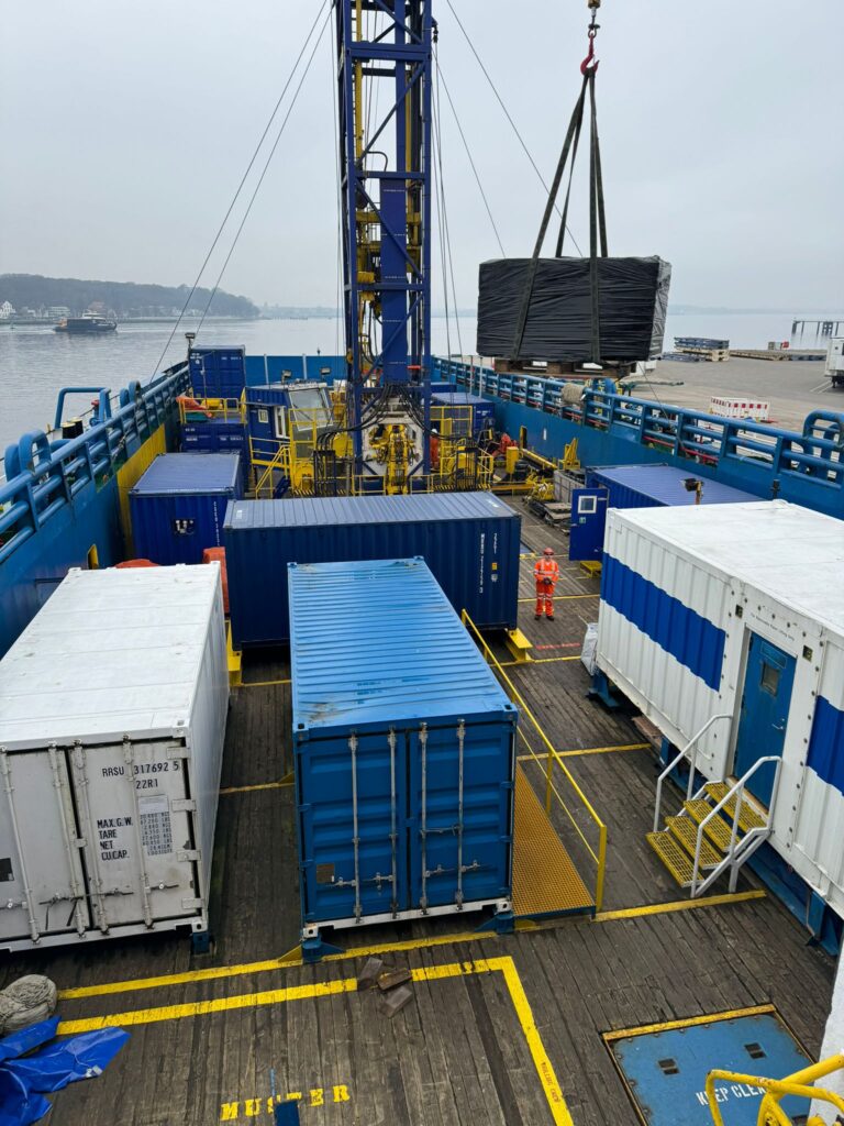
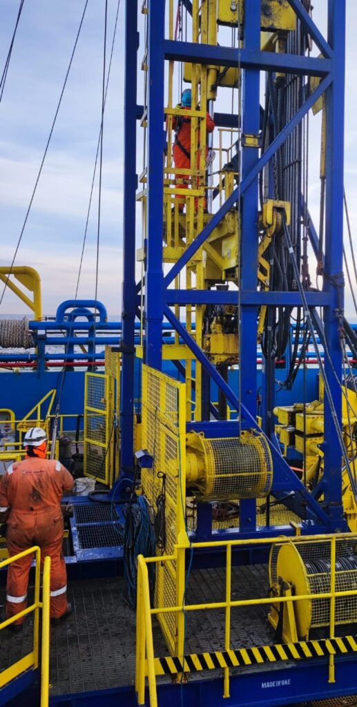
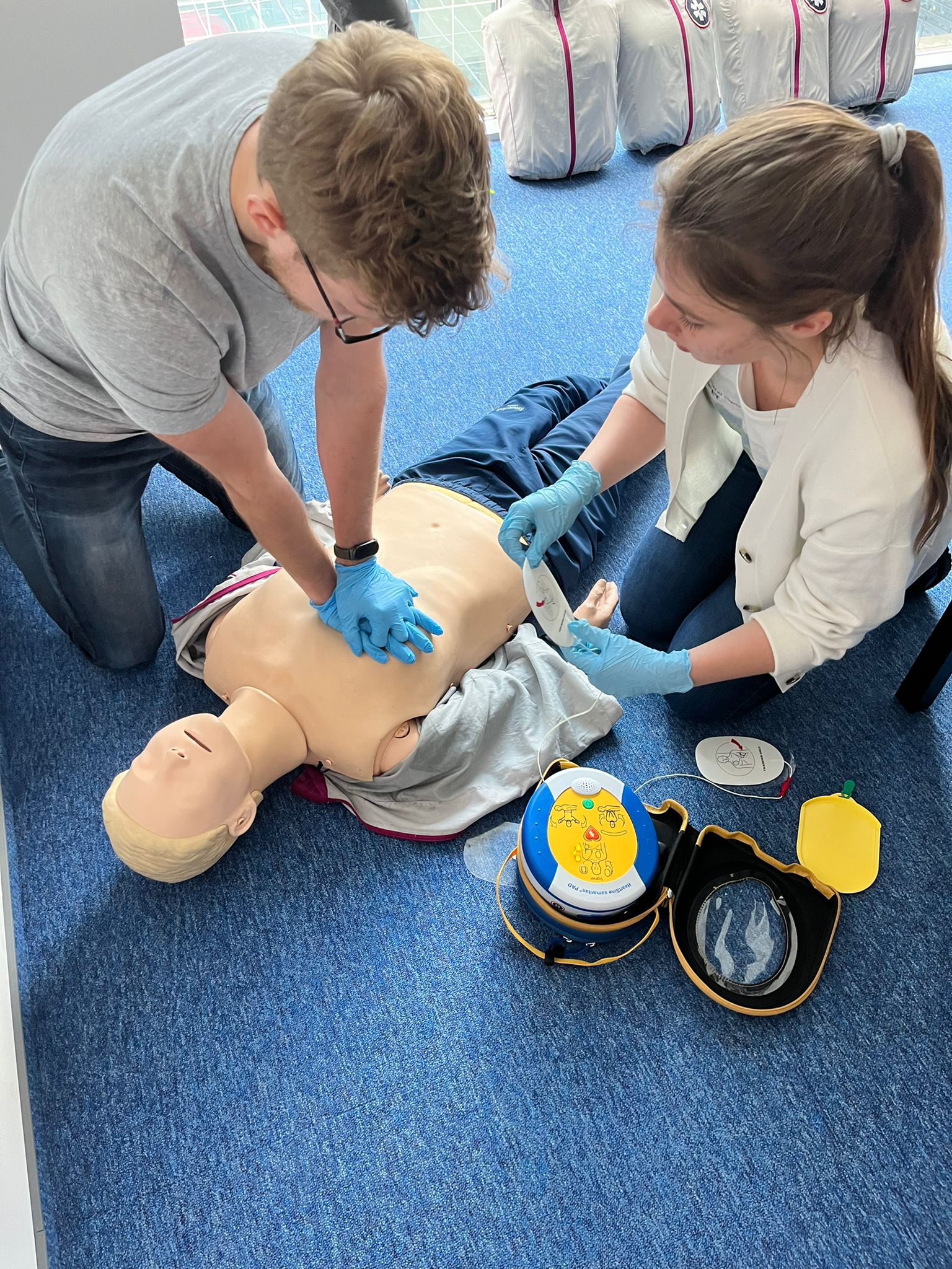
During this time, geophysical and geotechnical surveys were conducted, including bathymetry of the farm area, boreholes with soil sampling, and CPTu probe tests, which utilize a cone penetrometer to penetrate the seabed, enabling a thorough understanding of its mechanical and geological properties. The offshore survey works were carried out by Gardline Ltd, while the nearshore surveys were conducted by Geofusion Group sp. z o.o.
“The recently concluded seabed survey campaign marks a significant milestone in the development of the BC-Wind offshore wind farm for us. The acquired results will provide us with essential data for making further technical and business decisions. The project, being carried out as part of Phase I, will contribute to increasing the share of renewable energy sources in our region, bringing benefits both to the environment and the local community, taking a step towards a sustainable energy transformation.” – commented Kacper Kostrzewa, Project Director of BC-Wind.
These are crucial pieces of information for the safety and efficiency of marine infrastructure construction. Over the past few weeks of intensive work, despite challenging conditions at sea, the ship crews managed to complete all planned surveys within the specified timeframe. Four vessels were utilized for the operation: Ocean Observer for bathymetric surveys, and Ocean Vantage, Horizon Geobay, and Horizon Geodiscovery for geotechnical surveys. These marine units, dedicating over 4,500 hours at sea, actively participated in conducting precise measurements and analyses. The main operational ports during the campaign were primarily Gdańsk port and additionally Kiel port (Germany).
The collected samples were carefully packed, prepared for transportation, and then sent ashore to laboratories for analysis.
At the end of March, the nearshore geophysical and geotechnical survey campaign was concluded. The scope of work included seabed surveys for cable installation in the nearshore HDD section and connecting the offshore wind farm to onshore infrastructure. The surveys comprised geophysical measurements such as bathymetry (MBES), side-scan sonar imaging (SSS), magnetometry (MAG), seismic reflection and refraction, electrical resistivity tomography (ERT), as well as geotechnical investigations involving sample collection operations and cone penetration testing (CPTu) to depths not exceeding 45 meters. Currently, we are awaiting the results of laboratory tests on soil and water samples as well as undertaking documentation work. The survey results will form the foundation for the subsequent project phases.
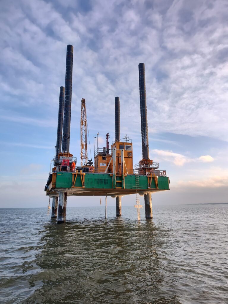
The operational ports utilized during the survey campaign were Władysławowo for the Combifloat C-726 platform “KOPERNIK-1”, and Łeba port for smaller vessels.
The “KOPERNIK-1” during the survey campaign for the BC-Wind offshore wind farm, source: Ocean Winds (OW)
Geotechnical and geophysical data play a crucial role in the planning and construction process of offshore wind farms. With the gathered information, engineers can precisely understand the geological and topographical conditions of the seabed, enabling the design of stable foundations and structures. Proper understanding of soil conditions also allows for the optimization of the construction process, ensuring efficiency and cost control.
BC-Wind is an offshore wind farm project located approximately 23 kilometers north of the shore, near the municipalities of Krokowa and Choczewo in the Pomeranian Voivodeship. The project aims to achieve a planned capacity of up to 500 MW, covering a total area of 90.94 km².
The BC-Wind farm is in an advanced stage of development and is one of the key projects in the Polish Baltic Sea region. The project already has an environmental decision and grid connection conditions issued. Currently, the priority is contracting key suppliers for components of the BC-Wind offshore wind farm, planning the service base, and finalizing geotechnical surveys onshore.
According to the updated schedule, the completion of the contracting phase and the final investment decision are anticipated for the end of this year and financial close next year.